Historical Photos
The pdf file listed in the heading is a copy of the original street layout plan dated May 15, 1954. Clearly it didn’t happen exactly as Mae Hall McCabe planned as this design has all the East / West canals coming off Carlisle Street and York Road ending at Carlisle. Also none of her proposed street names south of Carlisle [ Decatur , Erie , Fargo , Granada , or Huron] were ever adopted. (Thanks to Mike Walsh for providing this.)
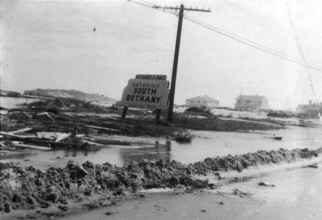
1961 Aerial View of South Bethany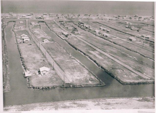 After 1962 Storm
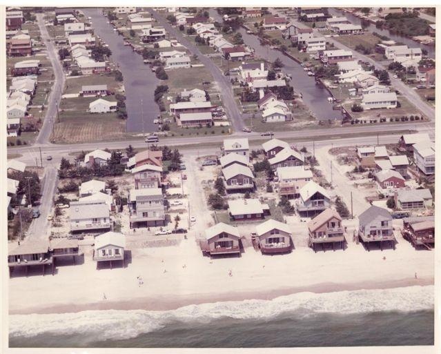
1986 Aerial View of South Bethany
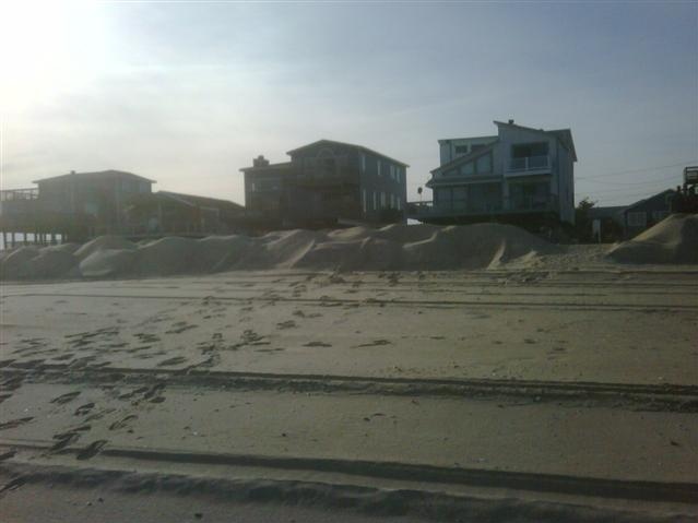
After 2007 Beach Replenishment
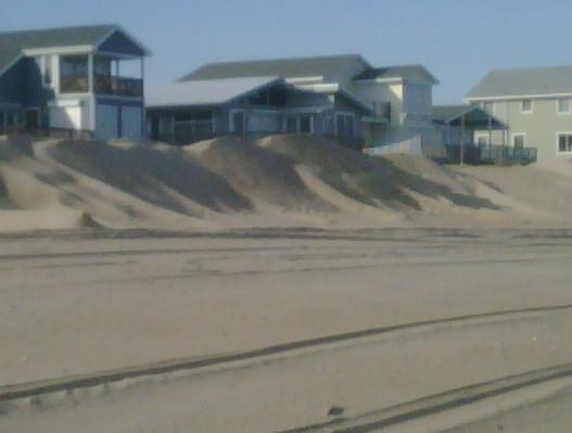
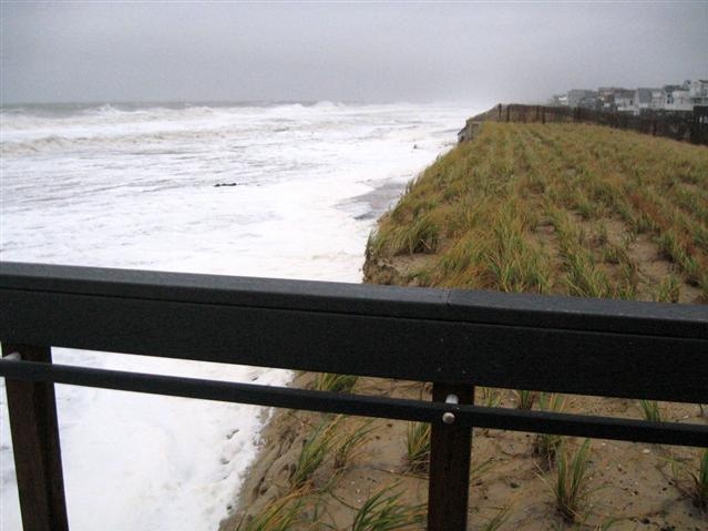
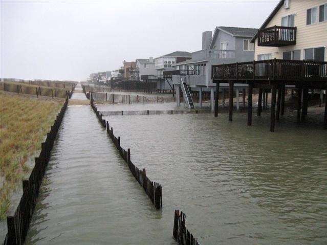
After Fall 2009 Nor' easter
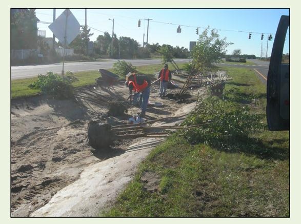
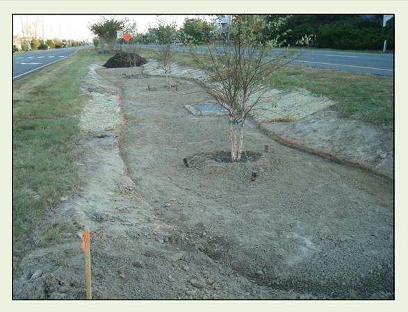
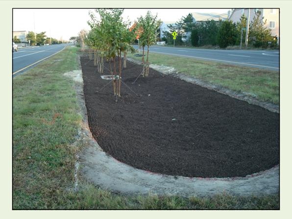
BIORETENTION AREA BEING CONSTRUCTED ALONG RT.1 - OCTOBER 2011